
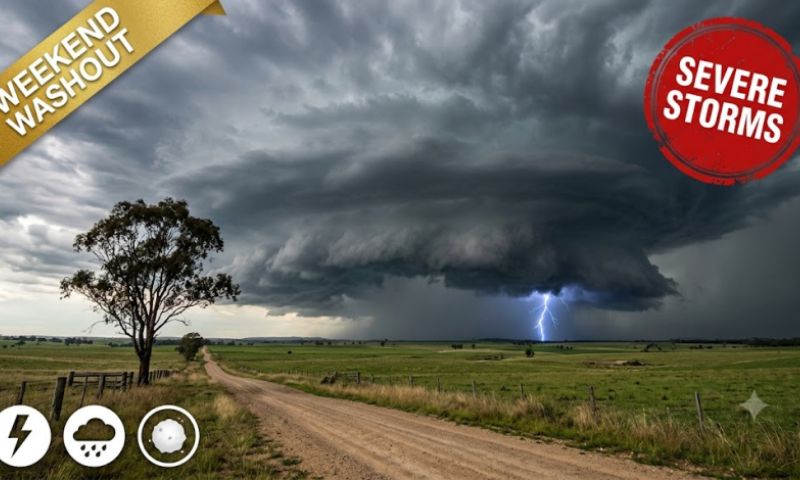
Got plans this weekend? Pack a brolly.
Rain and storms are set to cover more than half of Australia over Saturday and Sunday, the ABC says. Two weather systems are meeting over the east, and some of the storms could be nasty.
We’re talking squall lines. Hail. Maybe even supercells.
“The king of all thunderstorms.” That’s what the ABC’s weather guy, Tom Saunders, calls a supercell. Not what you want rolling over the backyard.
Saturday: Queensland and the south
Queensland gets it first. Central and south-east Queensland? Showers, and maybe some severe storms. Heavy rain and flash floods are the big risk, again.
North-east NSW gets showers and storms too, with the odd one further south along the coast and ranges.
Meanwhile a strong cold front is pushing in from Western Australia. SA gets rain from it. Then Victoria. Then Tassie. Storms along the front could turn severe, with heavy rain, damaging winds and some hail.
Sunday’s the big one
Sunday looks worse.
Severe storms are possible across central and eastern Victoria and a lot of NSW. Flash flooding, damaging winds and large hail are the main threats.
Supercells are most likely over central inland or southern NSW, and north-east Victoria.
Western Queensland and the southern Northern Territory could get severe storms with gusty winds as well.
So when does your city cop it?
Melbourne might see storms early on Sunday morning. Canberra, in the afternoon. Sydney, late afternoon or into the evening.
Brisbane? Another showery, thundery day. Sorry.
Adelaide and Hobart? Still wet. No more thunder, though.
Nambour’s wettest October ever
South-east Queensland has already had a shocker.
Nambour has had 401mm this October. That’s its wettest October on record, and the records there go back to 1896. Beerburrum is on 354mm, also a record.
Coffs Harbour had 339mm by 3pm Friday, its wettest October in 16 years. Moree’s had more than 120mm, its wettest month in four years.
Out west, Blackall has had 106mm. That’s its wettest October in 28 years.
Much of Queensland has now had rain for 10 days in a row.
Why so wet in an El Niño year?
Good question. El Niño usually means dry.
Part of the answer is the Indian Ocean, which is working against El Niño’s drying effect.
But the main culprit is a stubborn high stuck in the Tasman Sea.
It’s what forecasters call a blocking high. Rare in spring. A whole week it’s been parked there. Moisture keeps getting shoved our way.
Normally the jet streams would shove it along. Not this time. The two of them have stayed apart over our part of the world, Saunders says. So the high just won’t budge.
Plenty of farmers want it
Honestly? Lots of people are glad to see it.
Drought had crept in on both sides of the NSW-Queensland border this year. With bushfire season coming, a good soaking helps.
“The rain is welcome since drought has developed this year on both sides of the border,” Saunders said.
Cattle farmers are loving it too. Prices have jumped as paddocks turn green.
Monday and beyond
By Monday, South Australia, Victoria and Tasmania should settle down. NSW and Queensland won’t.
Monday’s worst storms are likely over inland Queensland and north-east NSW. Brisbane might cop some later that day. Supercells too, maybe.
From Tuesday, most storms shift up to the tropics. Then later in the week? Round two, possibly, for the central and south-east.
South-east Queensland and north-east NSW could get another 50mm or more.
Check the Bureau of Meteorology for warnings near you. If a road’s flooded, don’t drive through it. For help with storm damage or floods, call the SES on 132 500. If it’s life-threatening, call triple zero.